Revolutionizing Legal and Conveyancing Services with Drones
Drones offer innovative solutions for legal companies and conveyancers by providing a
cost-effective, efficient, and versatile way to collect and analyze data.
With careful attention to privacy and regulatory compliance, drones can become a powerful
tool for legal and conveyancing firms, streamlining workflows and enhancing the quality of
information available to clients and courts.
-
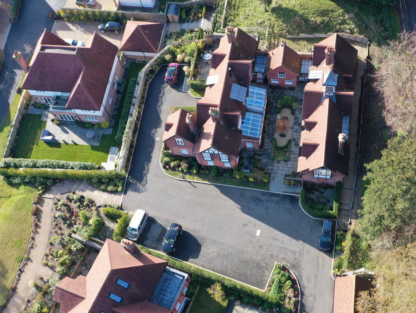
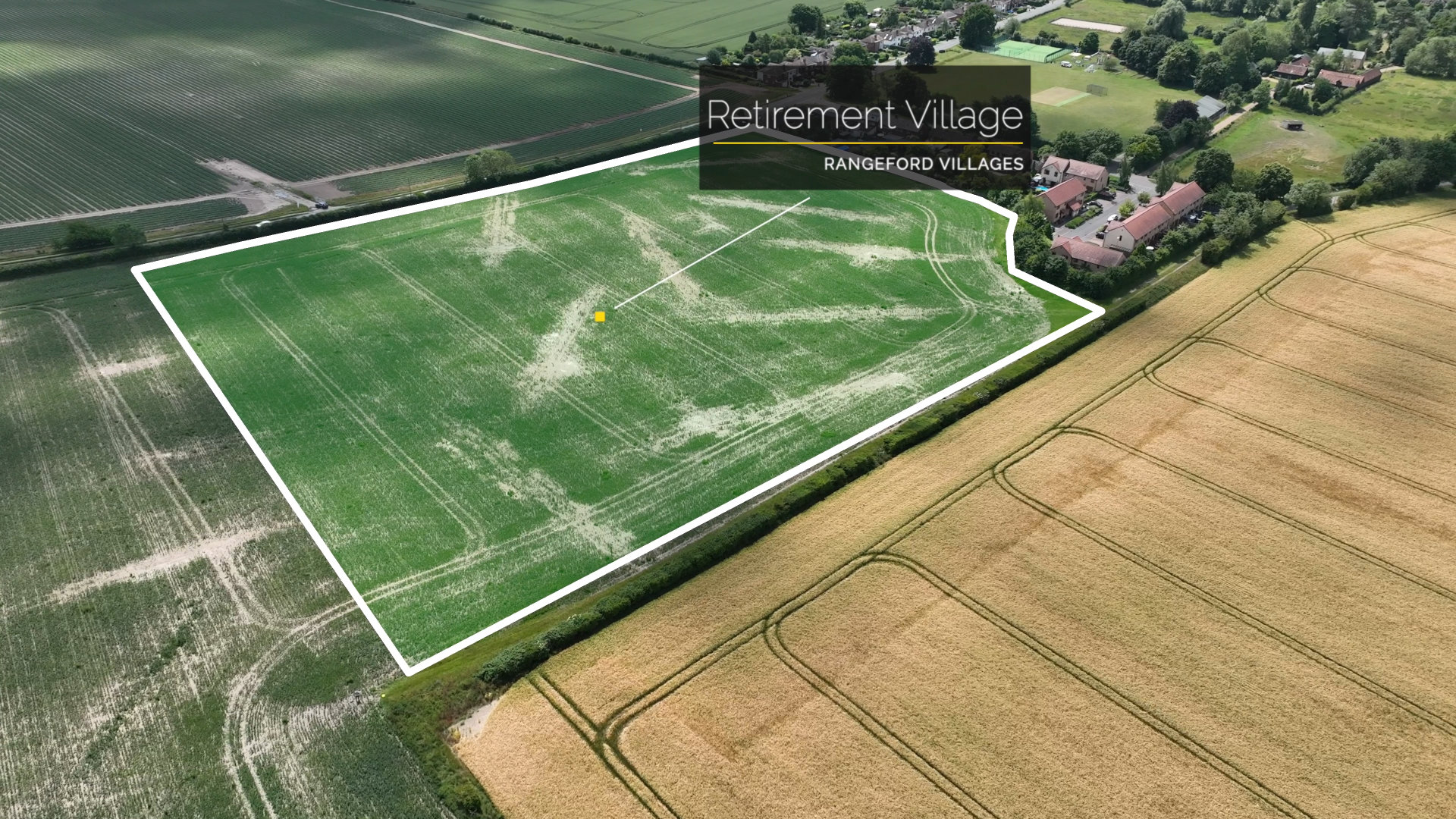
Property Surveys and Inspections: Drones can capture high-resolution
aerial images of properties, land boundaries, and structures, which are
valuable for conveyancers. This can speed up the due diligence process in
property transactions by providing accurate land data and revealing any
issues with boundaries, easements, or encroachments.
-
Site Assessments for Disputes: Legal professionals handling property
disputes or insurance claims can use drone imagery to gather evidence,
assess damages, or investigate unauthorized land use. Drones can reach
difficult areas, providing evidence that can help resolve disputes more
accurately and quickly.
-
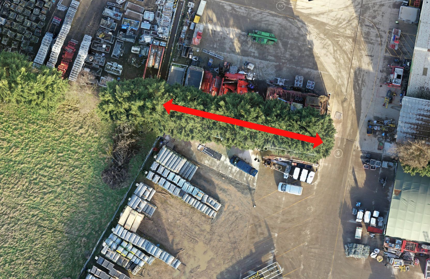
Environmental and Zoning Compliance: Drones can monitor and capture
footage of construction sites or protected areas to ensure that zoning laws
and environmental regulations are upheld. Legal teams can use this data to
support or challenge compliance claims in court.
-
Surveillance and Security: cases where surveillance is required,
drones provide an alternative to traditional methods, enabling non-intrusive
observation of properties or restricted areas. Legal firms specializing in
asset recovery or security-related cases may find this particularly useful.
-
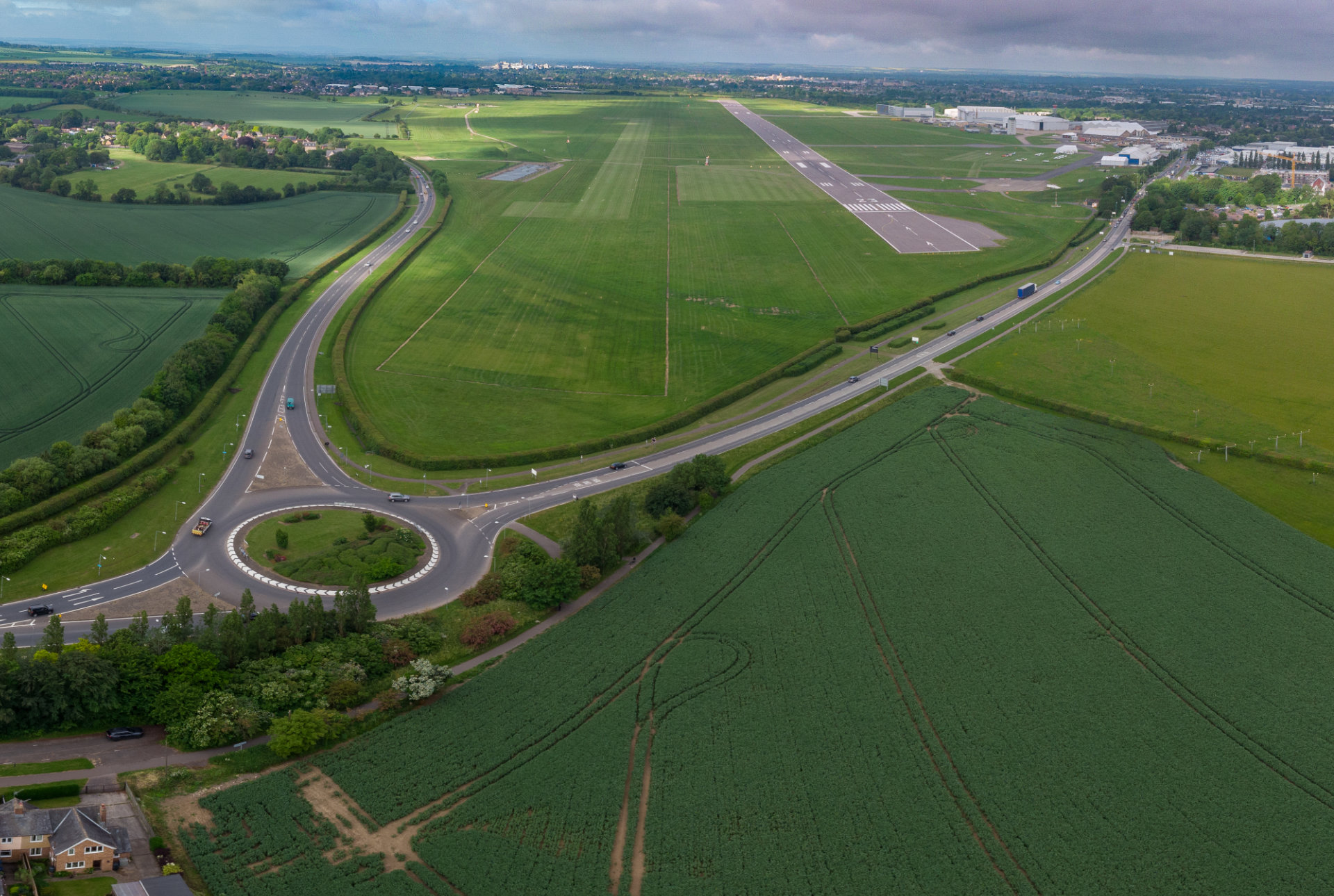
Data Collection for Document Preparation: High-resolution images and
geospatial data collected by drones can be used to prepare legal documents
and reports. They are also valuable for generating 3D maps and models of
properties, adding precision to the information shared with clients and
courts.
-
Data Collection for Document Preparation: High-resolution images and
geospatial data collected by drones can be used to prepare legal documents
and reports. They are also valuable for generating 3D maps and models of
properties, adding precision to the information shared with clients and
courts.


